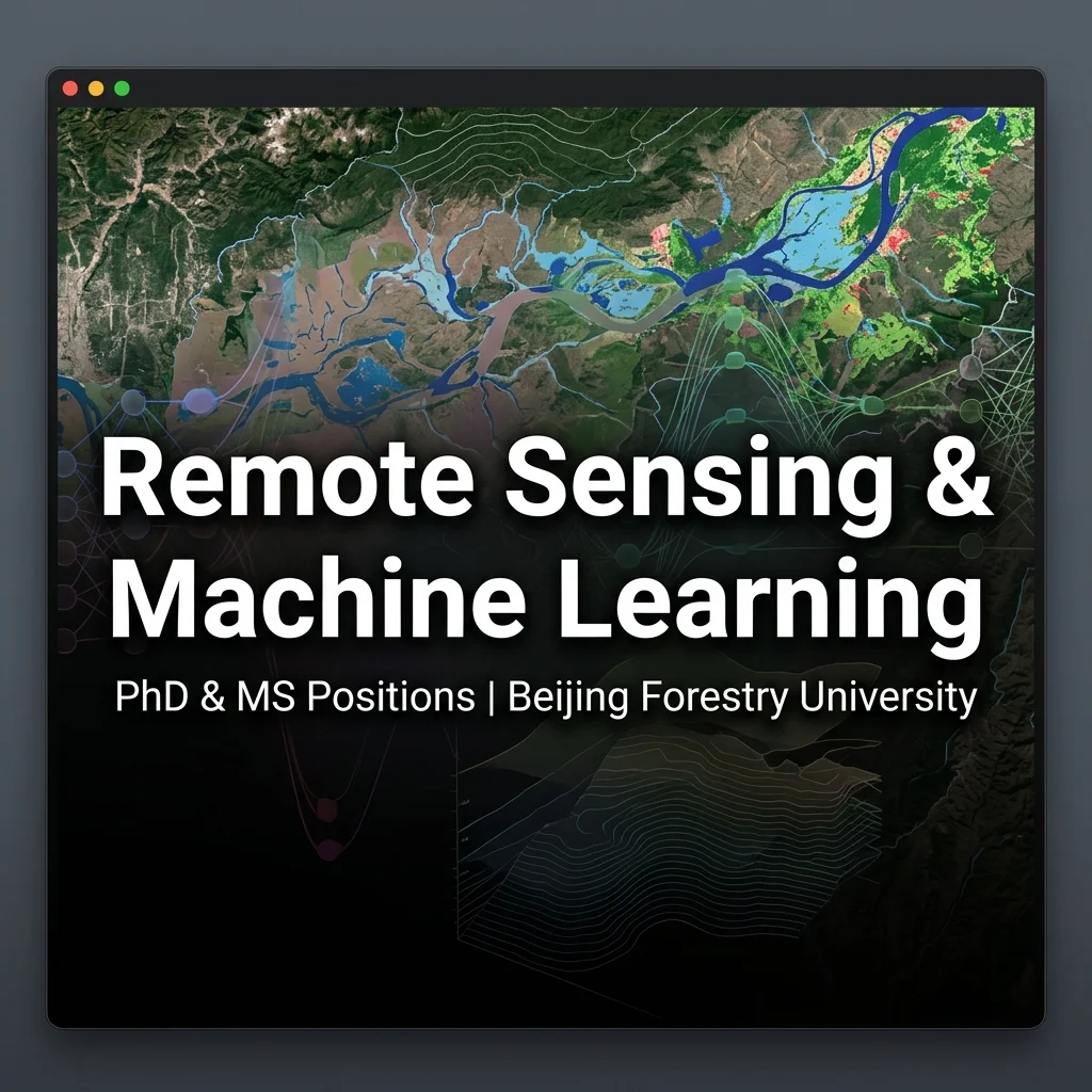
The School of Soil and Water Conservation at Beijing Forestry University (BFU), China, is seeking applications for one fully funded Master’s position and one fully funded PhD position starting in late 2026. Both researchers will work under the supervision of Professor Wentao Yang.
Research Project Focus
The doctoral and master’s projects will focus on developing innovative predictive models and mapping tools for natural hazards by integrating remote sensing satellite imagery with machine learning algorithms. Key research topics include:
- Flash Flood Modeling & Watershed Hydrology: Utilizing high-resolution satellite datasets (Landsat, Sentinel-1/2, Sentinel-3) and digital elevation models (DEMs) to simulate runoff, mapping flood-prone channels, and predicting active flood inundation zones.
- Soil & Water Conservation: Evaluating watershed sediment transport, soil erosion dynamics in steep mountainous terrains, and the role of forest vegetation cover in mitigating flash floods and landslides.
- Extreme Weather Impacts: Analyzing the impacts of typhoons, high-intensity rainstorms, and climate change on localized flooding and geomorphic hazards.
Funding and Scholar Benefits
- Full tuition waiver and a comprehensive monthly living stipend cover for the entire duration of the degree (3 years for Master’s, 3-4 years for PhD).
- Access to advanced computational labs, GIS software suites, and cloud computing platforms for processing large-scale geospatial data.
- Opportunities for international research collaborations, journal publications, and conference travel.
Required Qualifications
- B.S. (for MS applicants) or M.S. (for PhD applicants) degree in Hydrology, Remote Sensing, GIS, Environmental Science, Computer Science, physical geography, or civil/environmental engineering.
- Solid programming skills (especially Python, R, or Matlab) and familiarity with geospatial tools (ArcGIS, QGIS, Google Earth Engine).
- Strong quantitative interest, self-motivation, and ability to communicate effectively in English.
How to Apply
Interested candidates should email their curriculum vitae (CV), academic transcripts, a brief statement of research interests, and contact information for two references directly to Professor Wentao Yang. Please use the subject line “Application: Remote Sensing & ML Positions.” Review of applications will continue until the positions are filled.